GPS Satellite View
Verified | 4.0 Rating |


About App
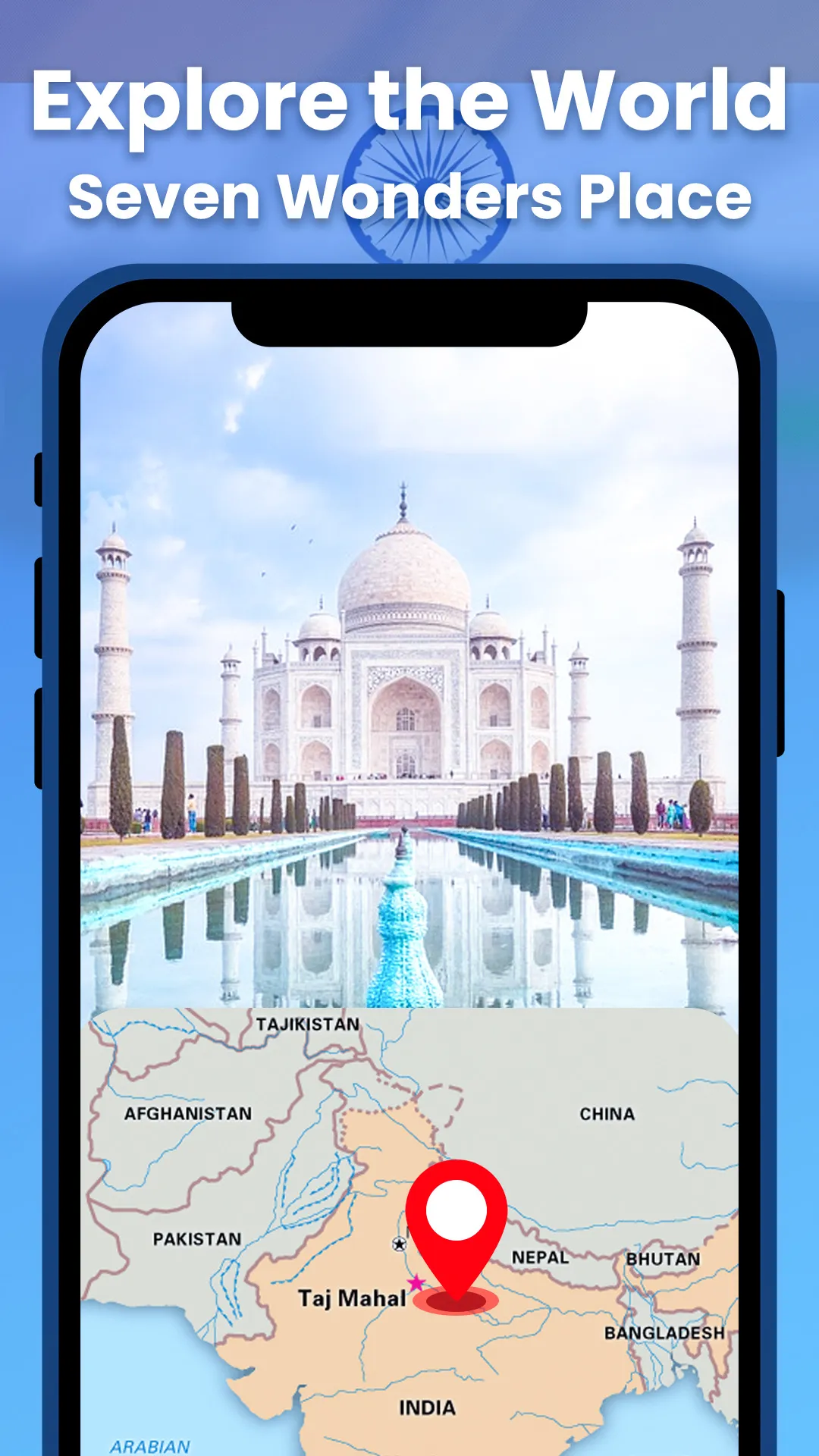
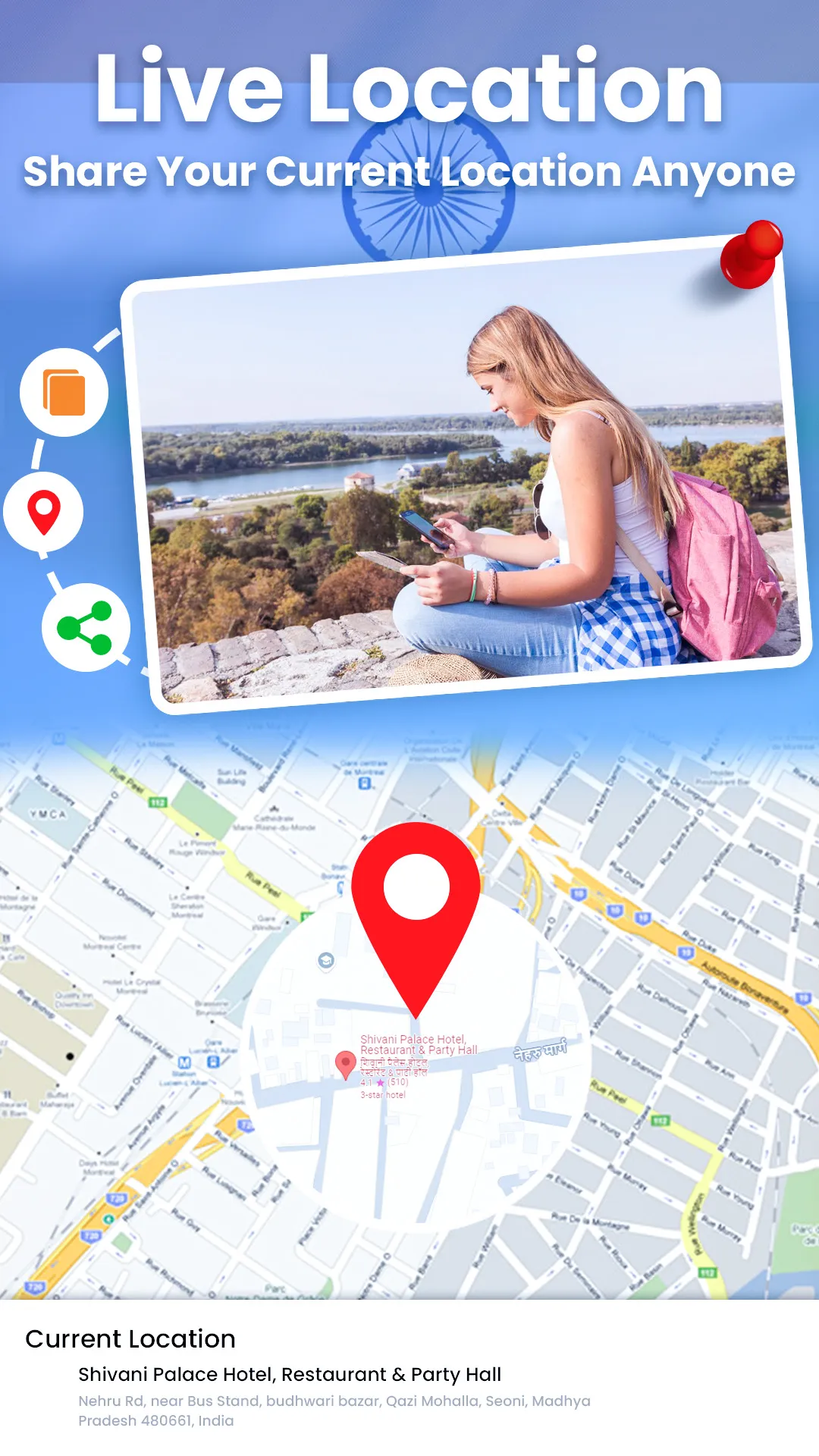
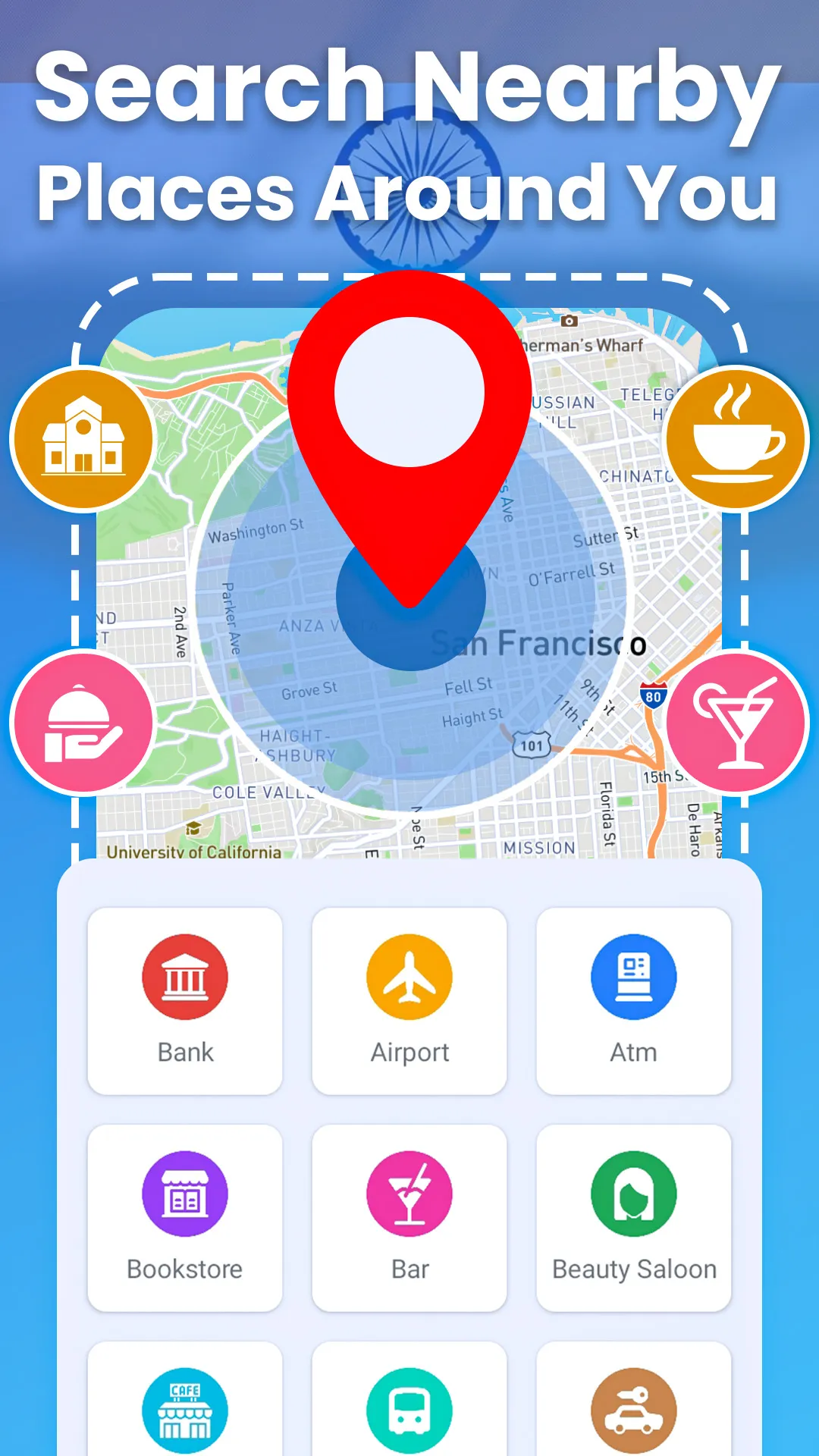
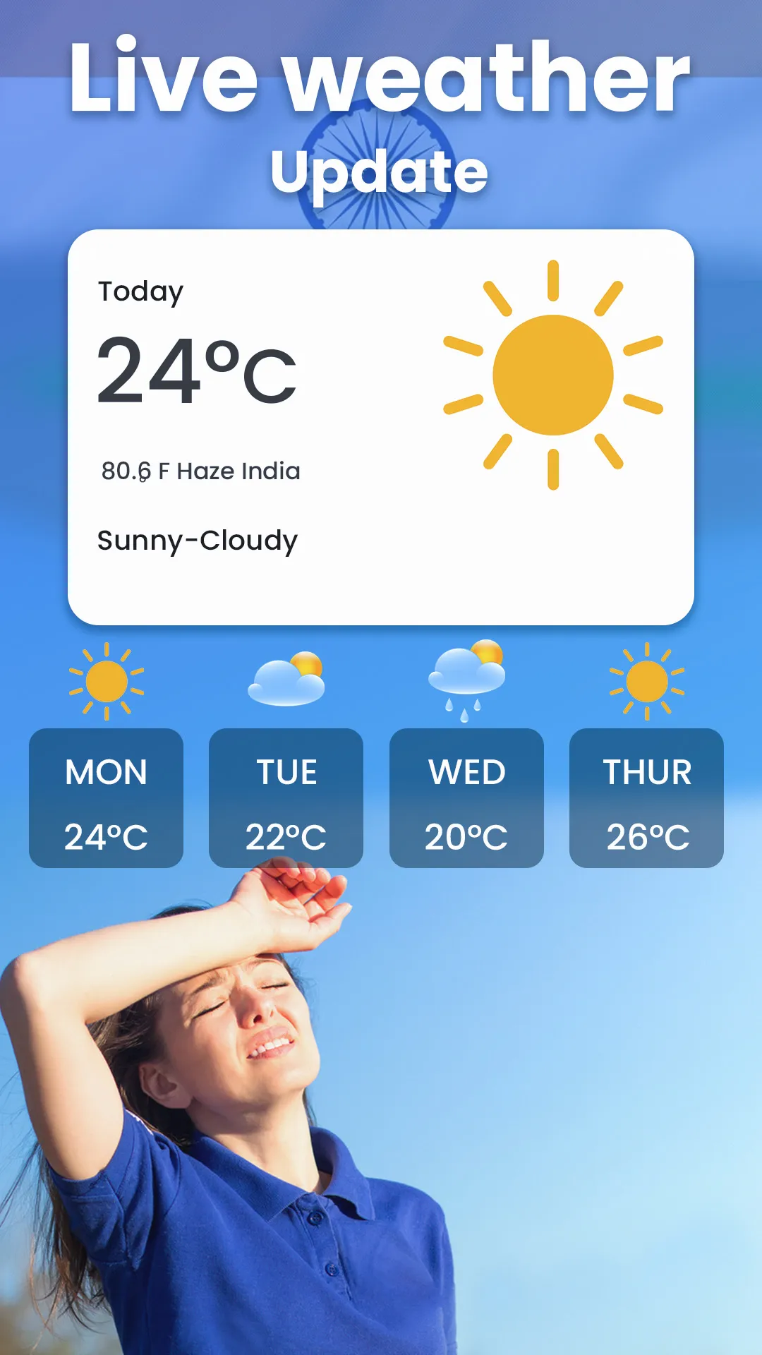
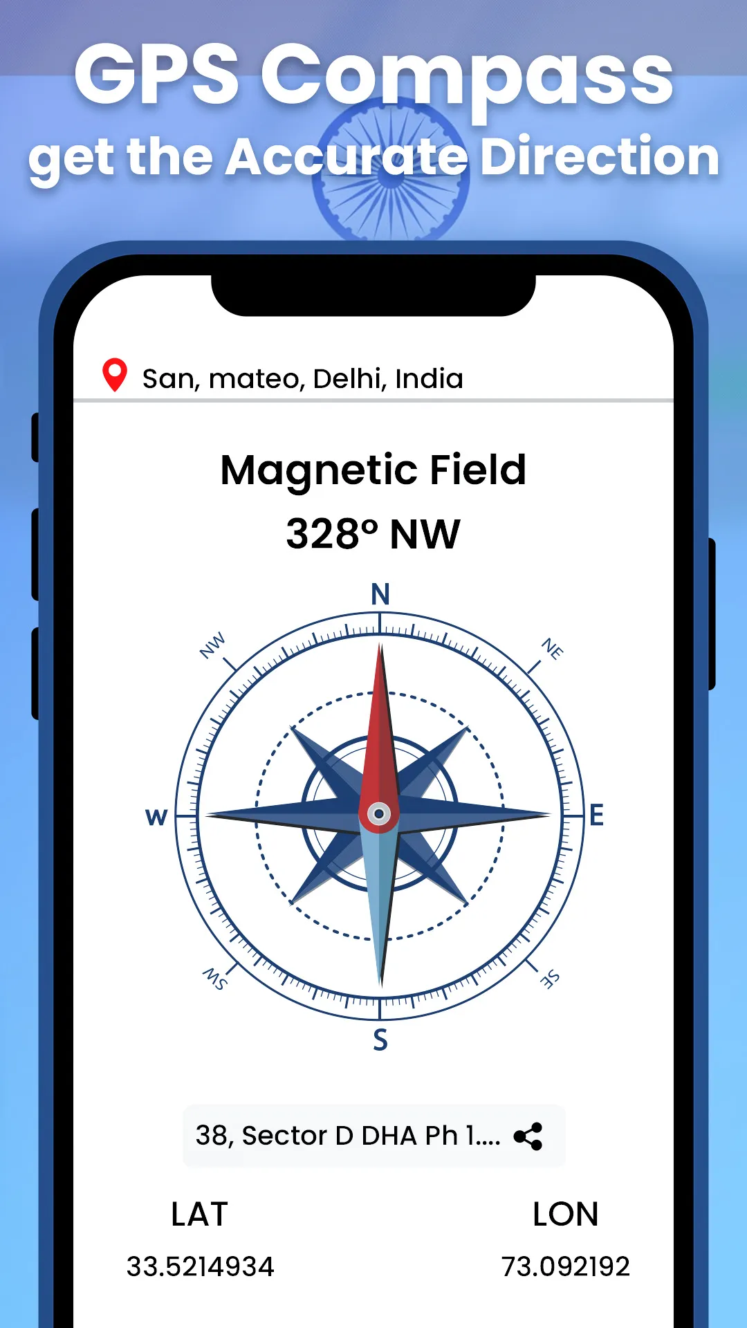
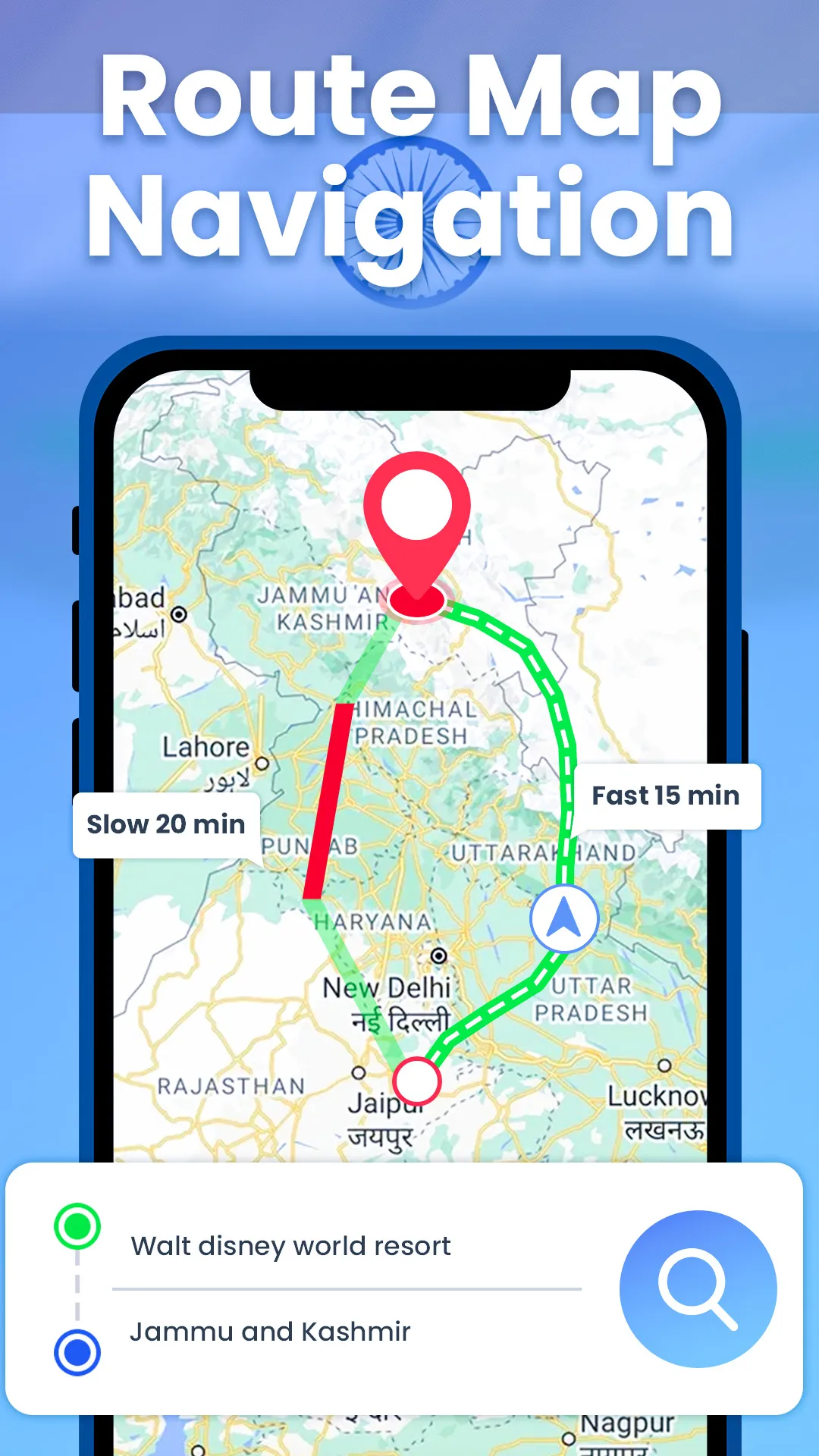
GPS Live Earth Maps Satellite can be used to get driving directions to explore the world map. The Real-Time Live Earth Map is used as a route finder to find driving maps and go there. With a Live Satellite Map, save your GPS route and travel to your desired destination by getting driving directions with a GPS navigation live map. Mark your exact location on a GPS map by using the Earth Map 3D, which connects with a live satellite view to provide your current location. Live map GPS navigation offers the ability to move across different regions on a Satellite map. Explore global landmarks on the World map with the help of GPS Live Earth Maps Satellite. Access to the world’s famous landmarks and seven wonders on the world map is effortless by using the Live map navigation app. Enjoy the travel journey with a Live Earth map satellite view that can take you to any location on the World map. GPS maps navigation app offers advanced technology of live satellite view which allows users to explore 3D Map Street View and various locations around the world. GPS speedometer GPS maps comprehensively represent accurate imagery of live satellite maps with a GPS map camera in high resolution. You can zoom in to see a detailed on map 3D Street view with GPS navigation & satellite map. ...
Developer info
Popular Apps