GPS Geotag Photos & Camera Map
Verified | 1.0 Rating |


About App
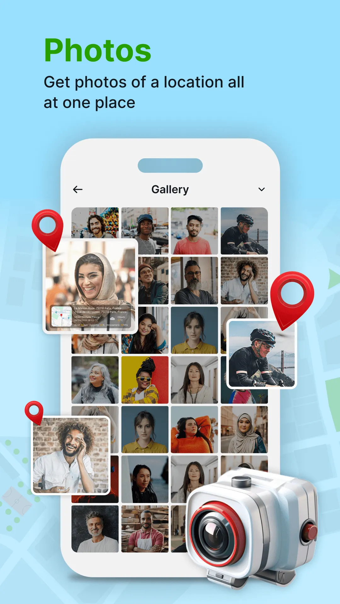
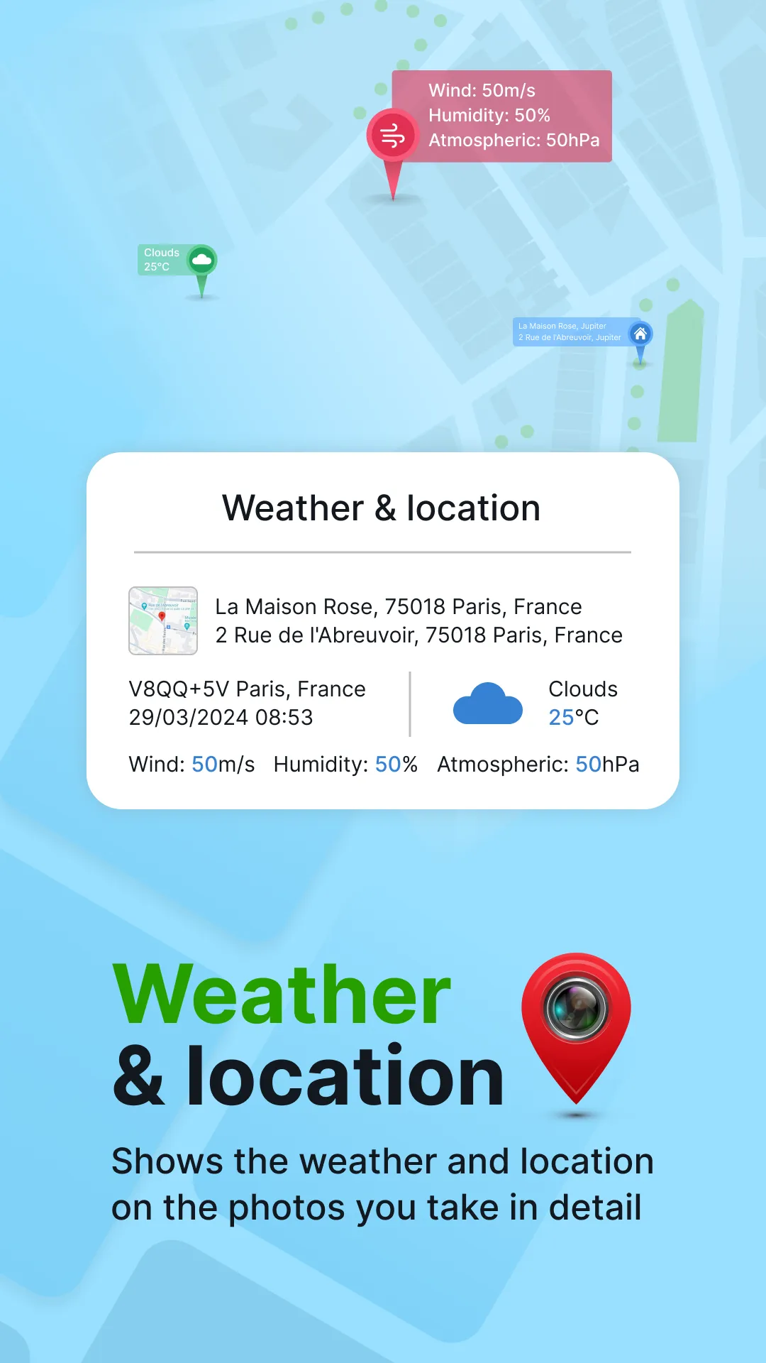
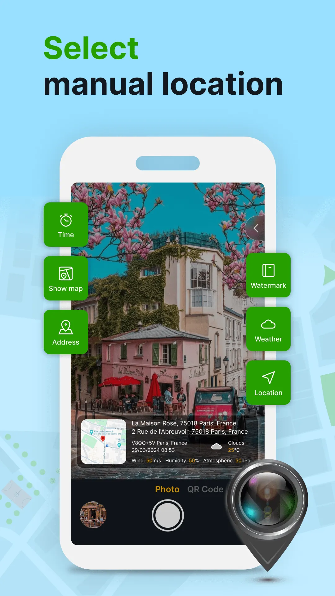
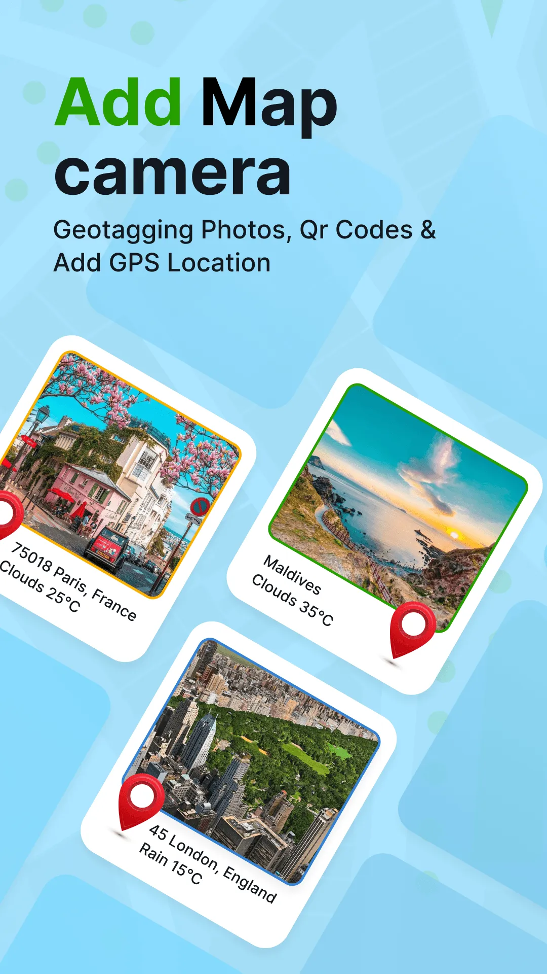
GPS Geotag Photos & Camera Map app helps you add location to your photos so you can keep track of when and where they were taken. You can also add datetime, live map, latitude, longitude, weather to your camera photos. This GPS Camera app support capture stunning photos while automatically embedding GPS coordinates, altitude, address into the image metadata. Send geotagged location of place added photos to your family & friends easy. Key Features: - Fast GPS photomap location stamp...
Developer info
1.0
1 total rating(s)
5
0%
4
0%
3
0%
2
0%
1
100%
Similar apps
Popular Apps