Notams Aero is the best NOTAM application.
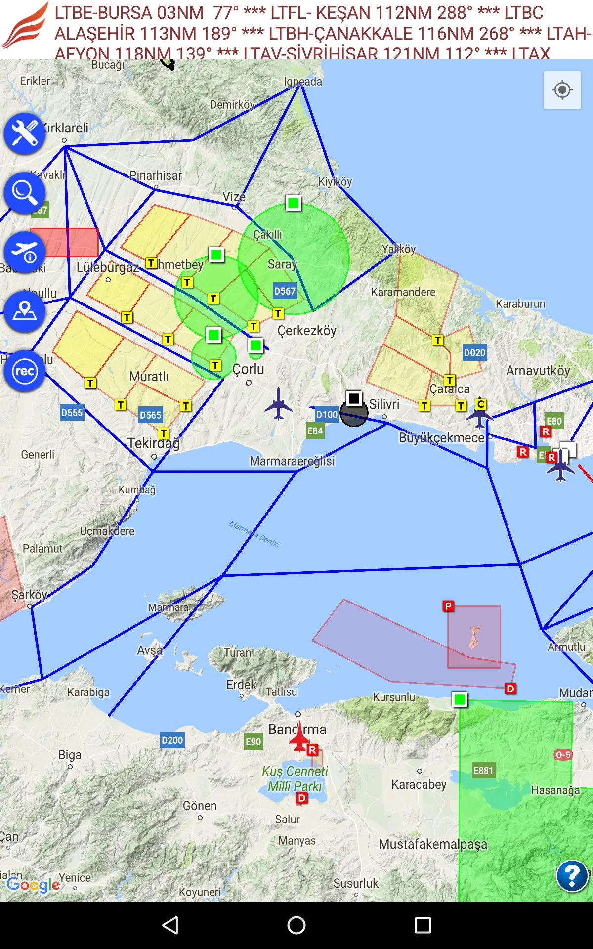
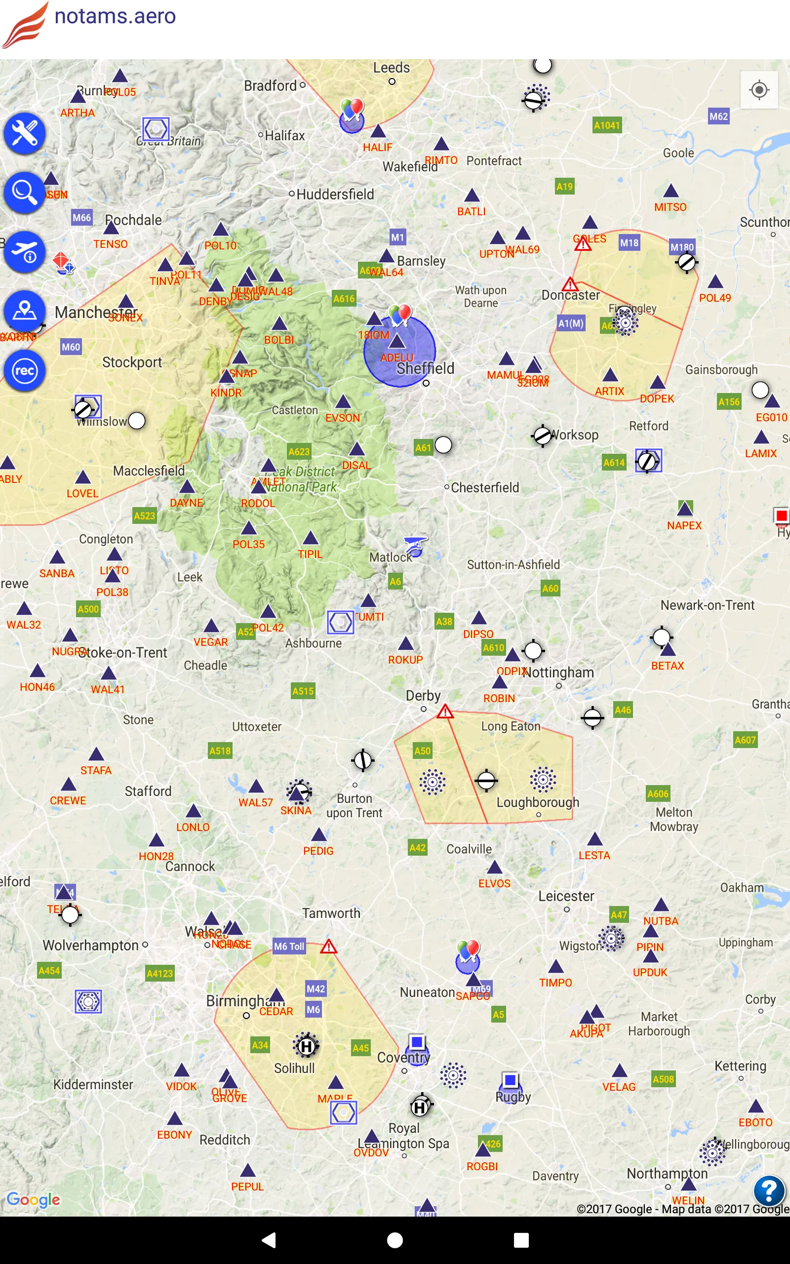
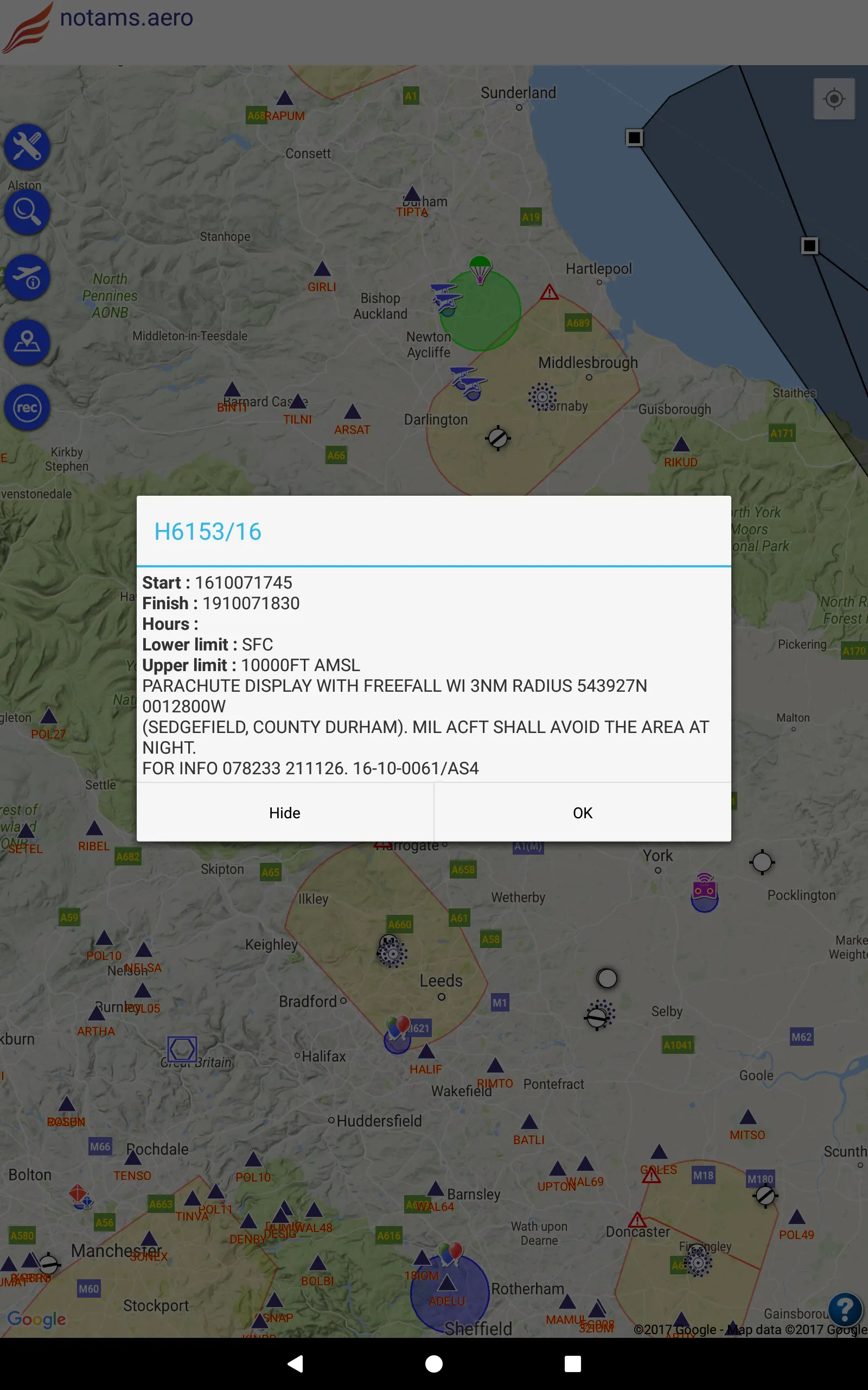
You can see NOTAMs on the map. Each NOTAM is displayed in categorized colors. Red means firing, yellow means training, blue means UAV, green means parachute etc. Additionally; each NOTAM area has a symbol which describes its subject ( for instance; you will see a remote control symbol for UAV NOTAM area)
* Flight recording and exporting of this as KML file
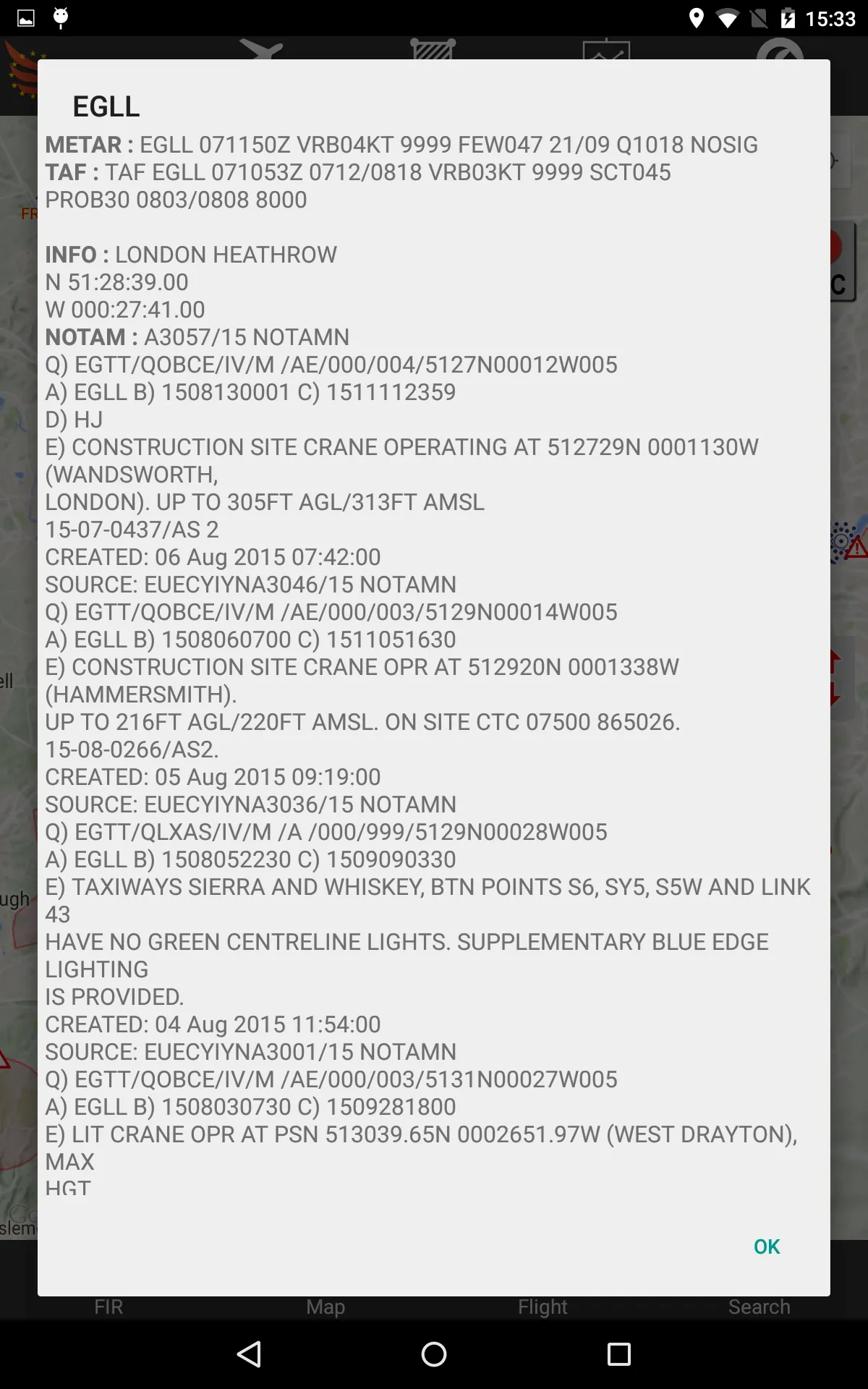
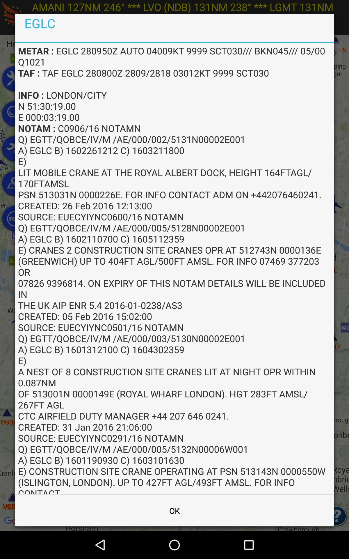
* Airport/Aerodrome meteorological information (METAR & TAF)
* Airport/Aerodrome NOTAMs
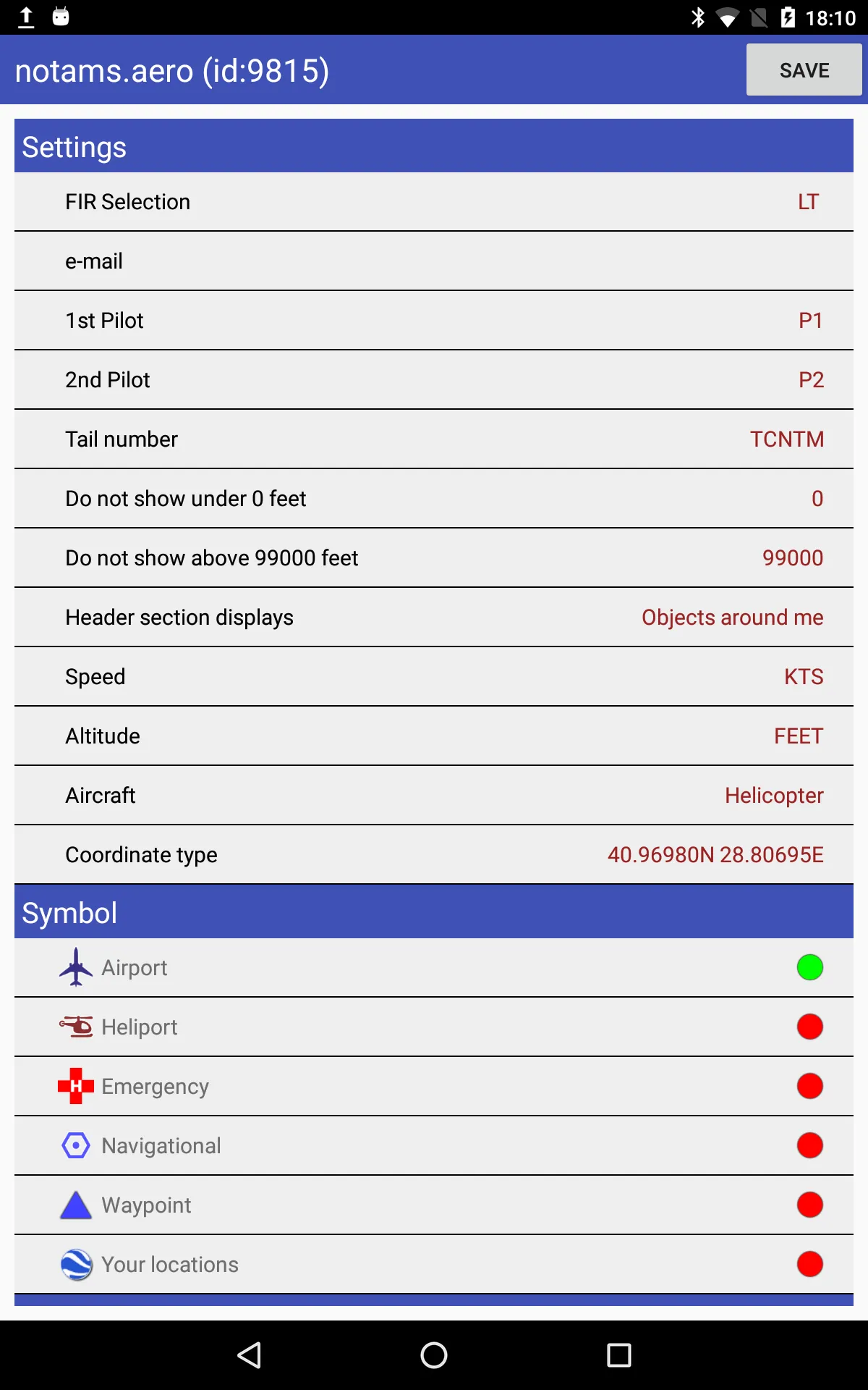
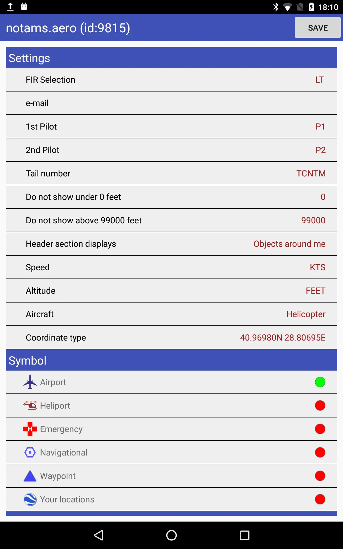
* Altitude filtering for NOTAMs
* All defined areas (prohibited areas, restricted areas, CTR, TMA etc)
* Airports, heliports and other aeronautical points with their detailed information
notams.aero contains these countries :
Albania, Armenia, Austria, Belgium, Bosnia, Bulgaria, Croatia, Cyprus, Czech Republic, Denmark, Estonia, Georgia, Germany, Greece, Finland, France, Hungary, Ireland, Italy, Latvia, Lithuania, Luxemburg, Macedonia, Malta, Moldova, Netherlands, Norway, Poland, Portugal, Romania, Serbia, Slovakia, Slovenia, Spain, Sweden, Switzerland, Ukraine, United Kingdom and United States
notams.aero is NOT FREE. You should purchase annual subscription to have all information.
For more information, privacy policy and terms of use please visit : http://notamtr.com/eu_policy.aspx
Essential Apps
Ratings
0
0 total ratings
5
73%
4
10%
3
4%
2
3%
1
10%
REVIEWS
No reviews yet. Be the first one to review this app
Scan to download on Indus Appstore
Permissions
Location: access this device"s location
Storage: access photos, media, and files on your device